
Time to welcome on board some of the very fine accommodation establishments that ring the Cederberg; and a report back on general progress on the map. There are a couple of questions we need help to resolve too, please.
1. General mapping progress and future time scale
2. Welcoming places to stay on board
3. Know this place? Where’s this place? Rudolf, how about it?
1. General mapping progress
First, thanks for all the many inputs we’ve received on how to show distances and times. It seems most likely that we’ll go for the little panel with distance and approx. time – but a bit smaller than it is on the sample. Any new inputs on this are still welcome.
Second, I’ve had an absolutely great input from Chris Berens, who has produced a great height-shadow screen for Side One, and will do the same for Side Two in due course [see pic].
 |
| Chris’s ‘raw’ file [left], and with my height-shading overlaid [right] |
Fourth, we’ll be characterising the Cederberg Heritage and the Rim of Africa routes with these little symbols [I’m still waiting for that gps track, Galeo!]:—

Fifth, drawing of Side 2 is well underway. The Google Earth shots for most of this area are of truly lousy quality, but Bing Maps has recently put up a brand new high definition set for the entire Cederberg, right up to date too. There is one problem – some critical areas, eg Wolfberg, are under cloud, and Bing doesn’t have that useful “history” feature.
Sixth, Graham Bellairs has asked for a timescale on production of the map. It’s a tricky one, Graham, because you never know what future problems might arise. I had hoped for Christmas 2012 but I have to be overseas for a month in September which cuts out a slice of time. Realistically, we’ll be in print by Easter 2013, hopefully sooner.
Last, we got more great names from Willem Beukes of Traveller’s Rest [see below], and Kosie Viljoen of Eselbank.
2. Welcoming places to stay
When we produce touring maps we automatically include [at no charge] as many places to stay as possible. However, we decided with a hiking map of the Cederberg it would really only be appropriate to include places that cater for hikers. We emailed all those we know of who are in the area to be covered by the map; we’ve had an excellent response. We’ll assume that those who don’t reply don’t want to be included ...
Thanks and welcomes are thus owing to:
Agter-Pakhuis: Alpha-Excelsior, Enjo Nature Farm, Traveller’s Rest, and all the Wupperthal buiteposte
Clanwilliam Boskloof: Boskloof Swemgat; Bovlei Guest Farm; Klein Boschkloof and Krakadouw
Olifants and Rondegat Valleys: Cederberg Cottage; Gecko Creek; Grootkloof; Jamaka; Rondegat; Ukholo Lodge
Agterberg: Bakkrans and Keurbosfontein; Cederberg Chalets [Zuurfontein]; Drie Hoek; Dwarsrivier; Kromrivier; Nuwerust
Piekenierskloof & Citrusdal: Boschkloof; Hebron; Rockwood
Special thanks for extra inputs go to Traveller’s Rest, where Willem Beukes showed us around and provided lots of lekker unrecorded names in the Agter-Pakhuis; Jannie and Katrin Nieuwoudt of Jamaka for first class info about their trails; Tony Kings for boundary info for the Cederberg Chalets area; Steven Windell and Louise Esterhuizen of Nuwerust [Cederberg Experience] for great trail info, and similar good trail stuff from Mare Olivier of Cederberg Cottage. Lindon Pope has also promised similar info for Gecko Creek in due course.
Lastly on this, we’ve been unable to find valid email addresses for the following: can anyone put us in contact with them?
Klein-Kliphuis; Sawadee; Little Boy’s Farm [Klein Jongensfontein]; Robyn; Petersfield; Waterfall Citrusdal; Kunje; Berg en Dal; Suikerbossie; Biedouw Farm; Biedouws Guest House; Mertenhof
3. Know this place? Where’s this place? Rudolf, how about it?
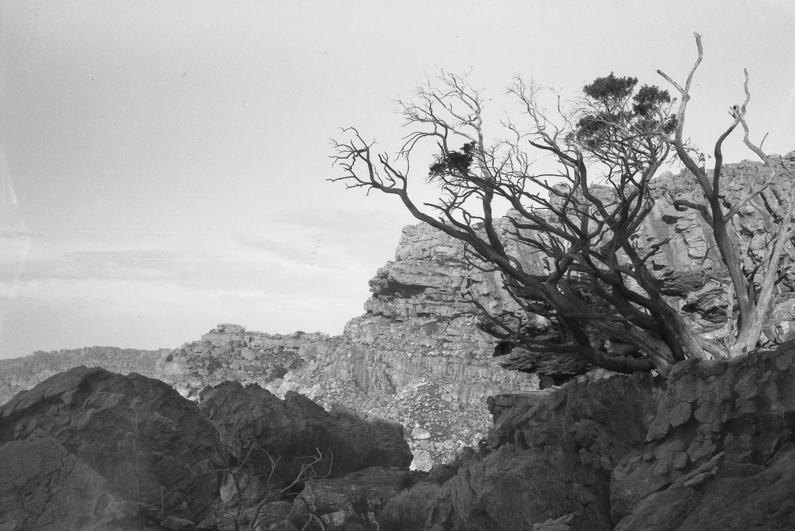
[a] On the path past Duiwelsgat, between the Uitkyk Pass and Sneeuberg hut, there is a point on the map named “Sederhoutstasie”. Like many names on the existing maps there is no precision about the location of this historic feature. So, my question: are these pics by Matt Britton photos of Sederhoutstasie? Or is it closer to Uitkyk?
 |
| Is this Sederhoutstasie? In the first pic it’s the rocky koppie surmounted by cedar trees; the view is south towards Sneeukop, and Duiwelsgat is down on the right. |
 |
| Two more views of the same koppie; is this Sederhoutstasie? Click on the pics for a larger view. |
[b] Sam Jack is doing botanical research in the Cederberg and is trying to find locations for a wonderful set of photos from the 1930s by Ken Howes-Howell. These pics also include many forgotten names; the following is described by the photographer as being “Cedar tree – Dassieberg – Wüpperthal Kloof (1931)”. I assume [but could be wrong] that Dassieberg might be the same as Dassiesbos, the rugged tangle of boulders between Skerpioensberg and Kleinvlei, and that Wupperthal Kloof must be the same as the Sand River canyon that runs down the Vogelgesang Valley just south of the above. Any offers on a location for this pic?
 |
| Howes-Howell’s 1931 photo captioned ‘Cedar tree – Dassieberg – Wüpperthal Kloof’ – any offers? |
Inputs already acknowledged: Rudolf Andrag, Quinton Martins, Ronnie Hazell, Charles Merry, Ezan Wilson, Wim Morris, Alex Basson, Graham Bellairs, Julyan Symons, Galeo Saintz, Paul la Grange, Laurence Elton, Mike Scott, Peter Hart, Justin Lawson, Paul la Grange, David Donald, Johann Lanz, Cisca Nieuwoudt, Torben Wiborg, Sandy MacDonald, Trevor Rennison, Hendrico Burger, Nicky Lombard, Jeroen Kant, Patrick Lane, Ingar Valentyn, Pip Nieuwoudt, Eugene Moll, Greg Moseley, Tony Heher, Andrea and Moritz Connrad, Hennie van der Westhuizen, Isak Koopman, Kerneels Filander, Kellie of Grasvlei, Barry Ockhuis, Joey Ockhuis, Gert Theron, Mary Anne Zimri, Louis Conradie, Haffie Strauss, Charité van Rijswyck, Chris Berens, Willem Beukes, Kosie Viljoen, Jannie and Katrin Nieuwoudt, Tony Kings, Steven Windell and Louise Esterhuizen, Mare Olivier, Sam Jack
Thanks for keeping up with me!
Kaartman, August 2012
No comments:
Post a Comment
Any comments that may help make our proposed map as good as it gets are very welcome
Note: Only a member of this blog may post a comment.