Pre-order from the website, either by credit card [Add to Cart button] or by EFT [EFT button].
We are expecting stock from the printer in the first half of August, and as soon as you receive your tracking number you’ll know that your maps are on their way to you.
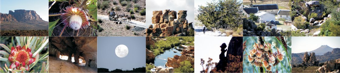
Official launches for the maps will be on August 29th [Cape Union Mart, Canal Walk] and at the Mountain Club in Hatfield Street on August 30th. We are hoping to organise one or two other venues in due course, and we’ll blog our open invitation to all of these as soon as we have more details.
If you are a retailer who would like to sell on to your customers or resort guests please contact us by return email for details of a special initial wholesale price.
1. A Close Encounter ...
2. A ‘New’ Peak ...
3. There are NO ‘Imaginative’ Paths on my Map ...
4. Cederberg Names Blog ...
1. A Close Encounter ...
Shows you can’t be too cheeky in life. On our recent trip to Bakkrans we found this:

so we bent down and grinned. Several weeks later a startled Quinton Martins sent us these ...

The dates and times on the pics show us that when Tigger passed that way (36 hours before us) we were walking to our cabin in the dark, about 200 m away ...

2. A ‘New’ Peak ...
Torben Wiborg, Graham Bellairs and friends recently ‘bagged’ the 1600+ metre peaks in the Koerasieberg complex, and at Wegwaai. At the former they found that the Trig Beacon had a name ...

... so there it is, minutes before deadline, on the map as ‘Hoogvertoon Peak’. They also found that the height of Wegwaai is 1641m, not 1631 as the Trig Survey has it ... duly corrected on the map, just three hours before it went to print!
3. There are NO ‘Imaginative’ Paths on my Map ...
Had an email the other day that suggested that the path south from Sneeukop Hut to Eselbank se Hoek is ‘imaginative’ ... and that came from experienced Cederbergers whom at first I felt I had to believe. So here goes ... sorry, ouens, but your eyes were blinded by the rising moon or something. I’ll admit that the path is faint, but it’s absolutely clear to see on Google Earth. Matt Britton took a GPS track for that path that perfectly matches the path that is visible on Google Earth. The path on the new map perfectly matches the GPS track that Matt took that is visible etc etc etc ... had you cast about a little more patiently you had to have found the way.
 |
| I rest my case ... the map’s path matches Google Earth’s path exactly ... |
Which thus leads to the following unequivocal statement from this cartographer ...
There are NO ‘imaginative’ paths that are approved for public use, with permit or without, on my map “HIKE THE CEDERBERG”.
... which does not include ways-to-go or paths keyed as not recommended, of course.
That said, there will of course be little-used paths that fade or become overgrown with time, especially after fires, which is exactly why we always revise our maps, and do not simply reprint them. This blog will remain open for comments, etc. and we’ll log as many changes over the forthcoming years as inputs are received ... if you find that that path is gone or hard to find, let us know and we’ll get the info out there.
4. Cederberg Names Blog ...
With all the new names gathered for the new maps, plus plenty of old ones that deserve explanation, I have taken the list of all the place names on the maps and started a new blog – link here – that attempts to [a] translate names into English and [b] explain their origins. I’m going to leave the blog up permanently (it’s not complete yet, by the way) for researchers, Cederberg lovers, whoever may be interested, and if you have a dispute, an explanation or a better idea, PLEASE get in touch and I’ll bring it up to date.
Lots of the stuff is quite interesting – do you know why it’s “Algeria”, for instance? Check the blog!
All the inputs acknowledged are now printed on the map; you can find them all there!
Happy hiking!
– Kaartman, Madiba’s 95th birthday, 2013


