2. The Cederberg’s brand new gogga-eater
3. Who was Keppel Barnard?
4. Some farm boundary inputs from Dawie Burger ...
5. ... and some comments from Charles Merry
6. A review for the Cederberg Touring map ...
7. ... a map for Petrus Hanekom’s new book
8. ... and a closing sweetener from Rudolf
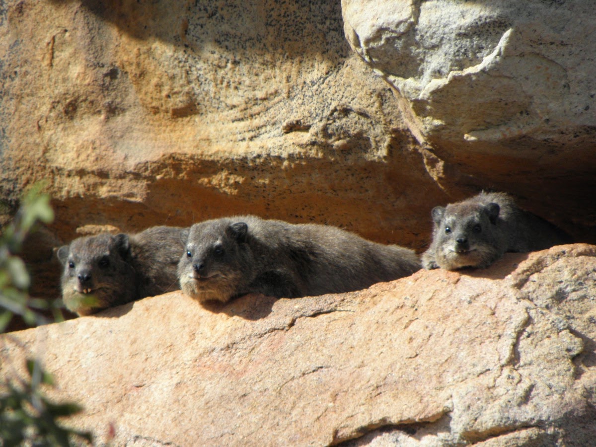
1. The Cederberg’s unique koringkrieke [katydids]
In a fascinating article published on his blog, Piotr [Peter] Naskrecki, an entomologist, photographer and author, based at the Museum of Comparative Zoology, Harvard University (Cambridge, MA, USA.), writes about his follow-up to Keppel Barnard’s discovery of the Cederberg’s very own rare and endangered cave katydids [koringkrieke]. I’ve written a bit more about Keppel Barnard below, but first here’s more about the goggas that Piotr came to the Cederberg to find.
Barnard’s specimens had lain unstudied in the SA Museum for over 70 years; Piotr realised that they were special the moment he saw them. Piotr was working on a revision of South African katydids at the time. No other cave-dwelling katydids have ever been found – anywhere in the whole wide world – so Barnard’s discoveries were indeed a scientific first.

Piotr named them Cedarbergeniana imperfecta [the imperfecta refers to the fact that all the specimens seemed to be immature] – though he confesses that he should probably have named them after Barnard.

Piotr has subsequently visited the Cederberg several times collecting data about the biology of these curious and absolutely harmless creatures. They are true cave-dwellers, clustering together in groups of 20-30 individuals of different ages, and preferring cold caves where the temperature remains at about 12 degrees throughout the year. They only live in caves that are not habitats for bats or dassies, which limits their distribution to just a few ‘safe’ caves. Most curiously of all, they leave their sterile, foodless caves at night to forage on plants growing at the cave-mouth.

So there you are – another great first for the Cederberg, and yet another reason why its conservation is so very important.
If you would like to read Piotr’s complete blog go to http://thesmallermajority.com/2014/09/23/on-the-benefits-of-random-collecting/ ... in the meantime my thanks to Piotr for allowing us to summarize his article and to use a couple of his fantastic pics.
2. The Cederberg’s brand new gogga-eater
I can’t say much about it, but in 2012 a tiny Drosera (sundew), new to science, was found at Traveller’s Rest by botanist Charlie Stirton. Since then specimens have been found at Bushmans Kloof and much further away, at Kromrivier; it’s astonishing that a plant with such a relatively wide distribution should have hidden away in clear sight for so long!

3. Who was Keppel Barnard?

Barnard’s specialities were marine biology, fresh water insects and Colophon stag beetles. He was also a mountain climber of note, and was Hon Secretary of the MCSA from 1918 to 1945. One of his frequent climbing companions was the botanical collector, TP Stokoe, who famously climbed the Spring Buttress Step-over at the age of 85. Stokoe died in 1959 after 48 years of friendship with Barnard, including frequent expeditions to the Cederberg. In 1954 Stokoe, then 86, wrote:
“I’m off to the Cederberg with Dr Barnard at Easter. The club [MCSA] is climbing ‘The Dome’. I’m not. It would be like combing a bald head. There is nothing but grass growing thereon ...”
 |
| Colophon stokoei |
There is also a Colophon barnardi, of course.

Stokoe was in the habit of sending Barnard painted postcards of his own expeditions, and, fortuitously, many of these have survived. There’s more to read about these two merrie men of the mountains in ‘TP Stokoe – the man, the myths, the flowers’; see http://www.slingsbymaps.com/tpstokoe.aspx .

4. Some farm boundary and other inputs from Dawie Burger ...
Dawie Burger of Driehoek has been doing some fossicking around in the old title deeds and diagrams for some Cederberg farms, revealing several ‘new’ old names for the next edition of the map.
.tif)
Dawie also discovered this interesting shepherd’s shelter near Bakleikraal, where the alphabet is painted on the cave roof – seems that the shepherd was teaching himself to read.

He also sent this short extract from the ‘Cedar Mountain Ranger’s Diary’:
Report of the Ranger of the Cedar Mountains for the Month of April 1893.
Dear Sir!
By kindly following my movements you will find that your Ranger has tried to fulfill his duties –
April 2 From 10 a.m. fire in the Mountains between Grootkloof & Boschkloof
April 3 Fire still raging in the Mountains – tried to extinguish the fire with some people, but was not successful – Slept at Grootkloof.
April 4 With Jacob Davids, a “Woodcutter” I left Grootkloof early to see where the fire commenced. Found that the fire was put to the veld at Boschkloof on a piece of Leased Ground called Koksbosch and Warmhoek – From here the fire took its course over Middelberg to Driehoek – camped out.
April 5 After a long search I returned to Clanwilliam & reported what I had found, to the C.C. & the Conservator of Forests at Cape Town.
April 6 Returned to Grootkloof to fetch my horse –
April 7 From 8 a.m. - 12 a.m. on the Commonage.
5. ... and some comments from Charles Merry
Charles sent these revisions for the hiking map:
“1. Height of Windswept peak: Your map shows it as 1662m high. Looking at it from Chaos, it is definitely much lower. My digital copy of the Trigsurvey 1:50000 map (3219CB) seems to show the height as 1562 ( a bit blurred, but I believe it is a ‘5’, not a ‘6’). Google Earth (not a good source) indicates a height around 1540m.”
– Thanks, Charles – Torben Wiborg had pointed that out to me. It’s an error on the earlier edition of the 1:50 000 sheet that I unwittingly repeated.

“2. Path up the valley south of Kotzesberg: Your path heading towards Kotzesberg appears not to exist. I attach a scanned copy of our GPS track which follows a faint path until just below the nek, where the path peters out, after which there is a (very occasionally) beaconed route further. Google Earth confirms the existence of this path.”
– Mea culpa – dunno how that happened!
6. A review for the Cederberg Touring map ...
Brian Joss of Cape Community newspapers wrote this for the Peninsula ‘knock n drop’ papers – you might have seen it in your Echo, Tatler, etc etc.

7. ... a map for Petrus Hanekom’s new book
With pleasure we have drawn and donated this map for Petrus Hanekom’s new book of fascinating Cederberg tales and experiences. It will hopefully be published in time for Christmas, so look out for it ...

8. ... and a closing sweetener from Rudolf
Rudolf sent this pic of a real sugar-loaf, in explanation of the name used for so many mountains. Wiktionary defines sugar-loaf as “A block of refined sugar, usually in the form of a truncated cone, in which form it was traditionally exported from the Caribbean and Brazil from the 17th century to the 19th century.”

All the best, enjoy the mountains!
Kaartman, November 2014