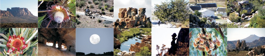
To keep contributors up to speed on theirs and others contributions, as well as progress on the map itself I’ll put up a blog from time to time – so here is report-back #1.
Mapping has begun, working from north to south: the extreme northern end includes some of the Agter-Pakhuis as far as Wolfdrif at Travellers’ Rest. Base-mapping for that and the western part down as far as Boskloof is complete.
I’m hoping that we’ll have space for some inset-maps that will show some of the less-obvious “trail heads” at a bigger scale, eg Heuningvlei, and we might be able to fit these in instead of some of the extensive rooibos tea fields north of the Engelsman se Graf. If we can’t fit them in we’ll put them up as downloadable freebies.
Response to news of our web-page: after only one week, the cederberg-hiking page has had 167 unique visitors. 36 people have downloaded the map of Algeria and 42 have downloaded the various ‘books’. Several hiking clubs and branches of the MCSA have passed on our appeal for info to their members.
Not many people have visited this blog!
 |
| Anyone know the story behind these old 20c pieces left on a rock in the Breekkrans Valley? |
Info that has come in [in order of arrival]:
Rudolf Andrag provided a three-page list of problems with the existing maps, plus several great bits of info re Kromrivier and the Breekkrans Valley.
Quinton Martins suggested that the ‘built path’ up the Uilsgat valley was a wagon-road that has become partly collapsed. However, it’s not really wide enough even for a donkey cart – could this have been a logging track, using narrow, two-wheeled ‘dollies’ to hold felled cedars, the whole then towed down the mountain by mules? Quinton says he prefers the dolly he already shares his life with, but that’s a different story. If you fancy a job as a leopard-catcher/feeder/fondler/attendant or whatever, there’s a new post up for grabs at the Cape Leopard Trust, by the way.
Ronnie Hazell sent info and a Google earth image of the old leopard trap near Driehoek.
Charles Merry sent this very useful stuff:
 |
| Sederhoutkop Cave |
72 is indeed Welbedacht Cave – this is also confirmed by Wim Morris;
73 – Charles confirms the position of Panorama Cave. At last it will be in the right place on a map!
135 is indeed a pic of Cathedral Rocks
153 is the spring at Bakmakersfontein – the coords we gave in Book 4 are a bit out, thanks to the GPS camera playing up that morning [apologies!]
181 – the ‘extensive beacon’ is in fact an old leopard trap.
186 – is indeeed a pic of Disa Pool.

Wim Morris responded:
Photo #50, the rock-pillar in the widest Wolfberg Crack, is known to rockclimbers as ‘The Knobless Robot’
51: this square-shaped ravine-head is the ‘venster’ of Vensterberg
Wim also sent the correct positions of Asjas se Kloof and Asjas se Grot, the latter not in Asjas se Kloof. Wim, do you know who Asjas was?

Keep your comments coming!
Kaartman 2011-11-20