Not a great deal to report this month, but a few gems and, at last! – a momentous milestone in the map drawing.
Ferdi Fischer, of the Mysterious Chockstone fame, is off trekking around Nepal, near Mt Everest, for four weeks while the rest of us seethe with envy. However, in his absence Torben Wiborg has sent in a GPS track with the elusive Chock finally located.
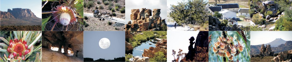
Torben commented:
“Middelberg North is a B-scramble route but without exposure. Walking from Middelberg Huts towards Machine Gun Ridge, you turn off the well defined path at the neck. From there we walked straight up to a small rock band through below knee-high vegetation. From the small rock band there is a very clear line of cairns but no path. The Chockstone is en route and can’t be missed. The last section of the peak involves some B-scrambling but without exposure, so it’s fairly safe although slightly awkward.
I think it would be of value to include [the route] on the map as this peak is a three hour round trip from Middelberg Huts and very doable for the more adventurous hiker.”
Many thanks, Torben – it’s inputs like yours that will make this map very special.
 |
| Torben Wiborg’s Chockstone, on Middelberg North – correctly located at last! |
Peter Hart sent info about the Cederberg Heritage Route’s Annual General Meeting, to be held in Wupperthal on Wednesday 18 July at 12h30. It’s too late to organize accommodation at Brugkraal or one of the other buitepos houses, but anyone interested could still contact Peter – email address from me, on request.
I received this alarming message from Rob Woodward:
“I am using this channel as I was just looking at some of the pictures on your site. Over the last long weekend I took a group of old toppies from Uitkyk past Duiwelsgat round Sneeuberg to Bakleikraal and then down the valley to Riempie se Gat and Amon se Werf. The paths from the top of the valley below the nek are in shocking condition and have not been maintained for years [my italics]. Beyond Riempies se Gat we lost the path a number of times even though we are experienced hikers. We went up the Kruis Rivier kloof as planned using one of your maps and the old Cederberg map. We crossed the river three times as per the map but the path was also very poor and overgrown in places. After the third river crossing we came to the beacon and followed the path for a while but there has been a fire through and lots of fallen trees. The path has disappeared and we were unable to find the route over the top to Algeria even though we spent about 5 hours in the Kloof [my italics]. In the end we walked through to Niewoudt’s Pass. A great trip but awful and dangerous paths. Perhaps in your dealings with Cape Nature you could mention the issue of path maintenance in this most beautiful part of the Cederberg.”
This is bad news for a mapmaker: how do we characterise those routes on the new map? Do we mark them as paths or merely as “ways to go”? The whole Heks River valley route is far too beautiful to be ignored, with a fine, large cave near Die Kruis. This complaint is similar to that of Laurence Elton – on 2 December 2011 I wrote:
Laurence Elton wrote about his recent [November] trip down the Heks River valley. Just as we did, his party found the Kruisrivier kloof path over to Algeria impassably blocked by fallen trees. His party bailed out to Klein-Jongenskraal and copied us their letter of complaint to CapeNature about the state of a path that is shown so prominently on their map.
Hmmm. I can see the mapmaker’s biggest hazard rearing its ugly head here – ground features that change and render the map info incorrect ...
Our researcher Matt Britton found his way through in July and September 2011, and again in February 2012, but then Matt is something else when it comes to pathfinding.
 |
| Matt Britton’s pics of the ‘path’ up Kruisrivier Kloof – July 2011 |
There’s a follow-up to our story about the WWII plane crash at Pakhuis in the May, 2012 edition of Go! Magazine, with some interesting pics. The article gives the date as 1946, but all the SAAF sites on the internet give 1945 ...
Finally, we are off to Heuningvlei for a couple of days to pick local brains for place names and many interesting little day walks in that area – you can even hire a guide. The contact details for the Heuningvlei backpacker’s [the old school, beautifully refurbished] are:–
Dalene van der Westhuizen, 027 492 3070. The cost is only R130 pppn; we’ll let you know more after our trip!
And now for the BIG ONE about the map ... the redigitizing and contouring of Side 1 of the map is finally finished! It’s been a bigger task than I imagined and, with Side 2 still to go, I’m afraid the publication date moves back to December 2012 at the earliest.
 |
| Revised contour digitizing for Northern Cederberg. The straight lines will not appear on the map! |
The next step will be a sample section for your inspection – watch this space for a downloadable piece of map, probably the day walk north of the Kliphuis campsite [Pakhuis Pass]. I hope this will be ready in about 3-4 weeks and I’ll be asking for your comments.
Already acknowledged: Rudolf Andrag, Quinton Martins, Ronnie Hazell, Charles Merry, Ezan Wilson, Wim Morris, Alex Basson, Graham Bellairs, Julyan Symons, Galeo Saintz, Paul la Grange, Laurence Elton, Mike Scott, Peter Hart, Justin Lawson, Paul la Grange, David Donald, Johann Lanz, Cisca Nieuwoudt, Torben Wiborg, Sandy MacDonald, Trevor Rennison, Hendrico Burger, Nicky Lombard, Jeroen Kant, Patrick Lane, Ingar Valentyn, Pip Nieuwoudt, Eugene Moll, Greg Moseley, Tony Heher, Andrea and Moritz Connrad
Enjoy the wintry weather!
Kaartman, May 2012